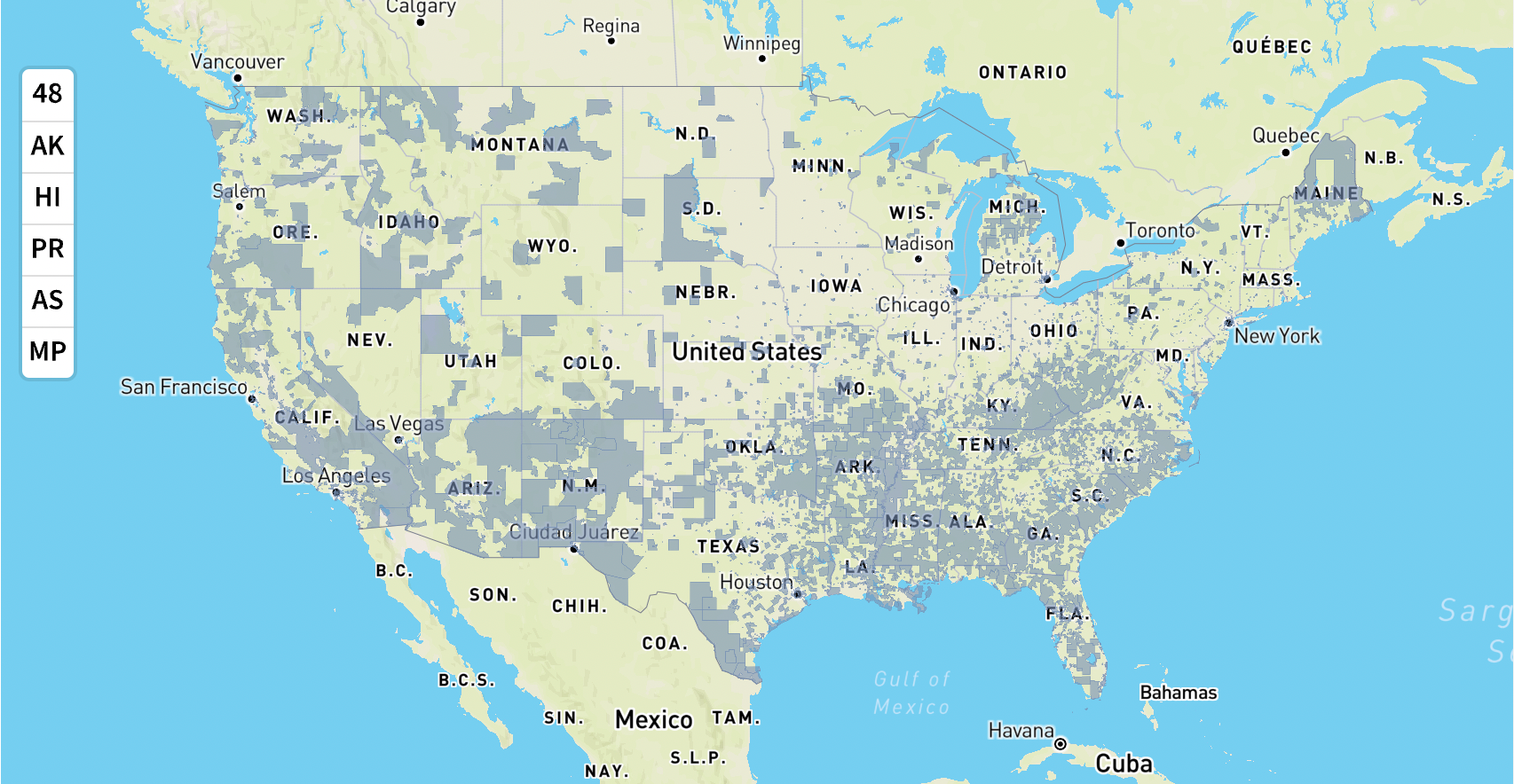
This interactive map helps identify disadvantaged communities across the US that are marginalized, underserved, and overburdened by pollution. The map uses publicly-available, nationally-consistent datasets. Learn more about the methodology and datasets that were used to identify disadvantaged communities in the current version of the map on the methodology & data page.
Climate and Economic Justice Screening Tool